

Artec Jet Scanner
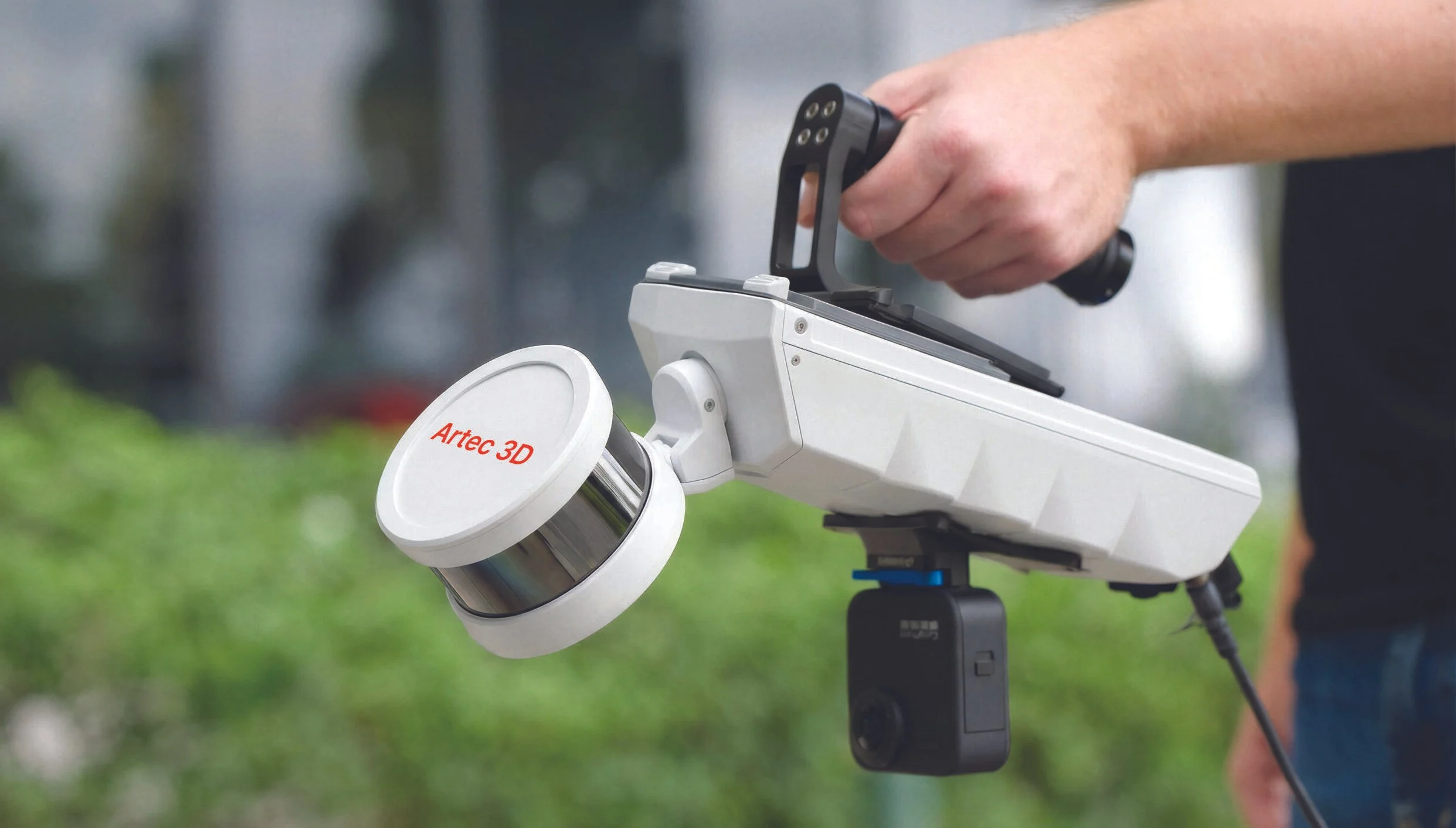
From real scenes to digital twins in minutes
Artec Jet is a high-speed mobile LiDAR mapping system that combines SLAM-based positioning and AI-powered autonomy to capture sites, facilities & infrastructure, even in GPS-denied environments – in minutes rather than hours, with survey-grade accuracy.
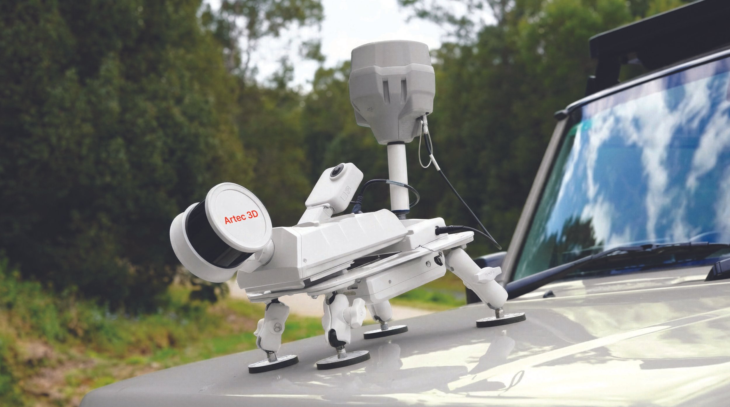
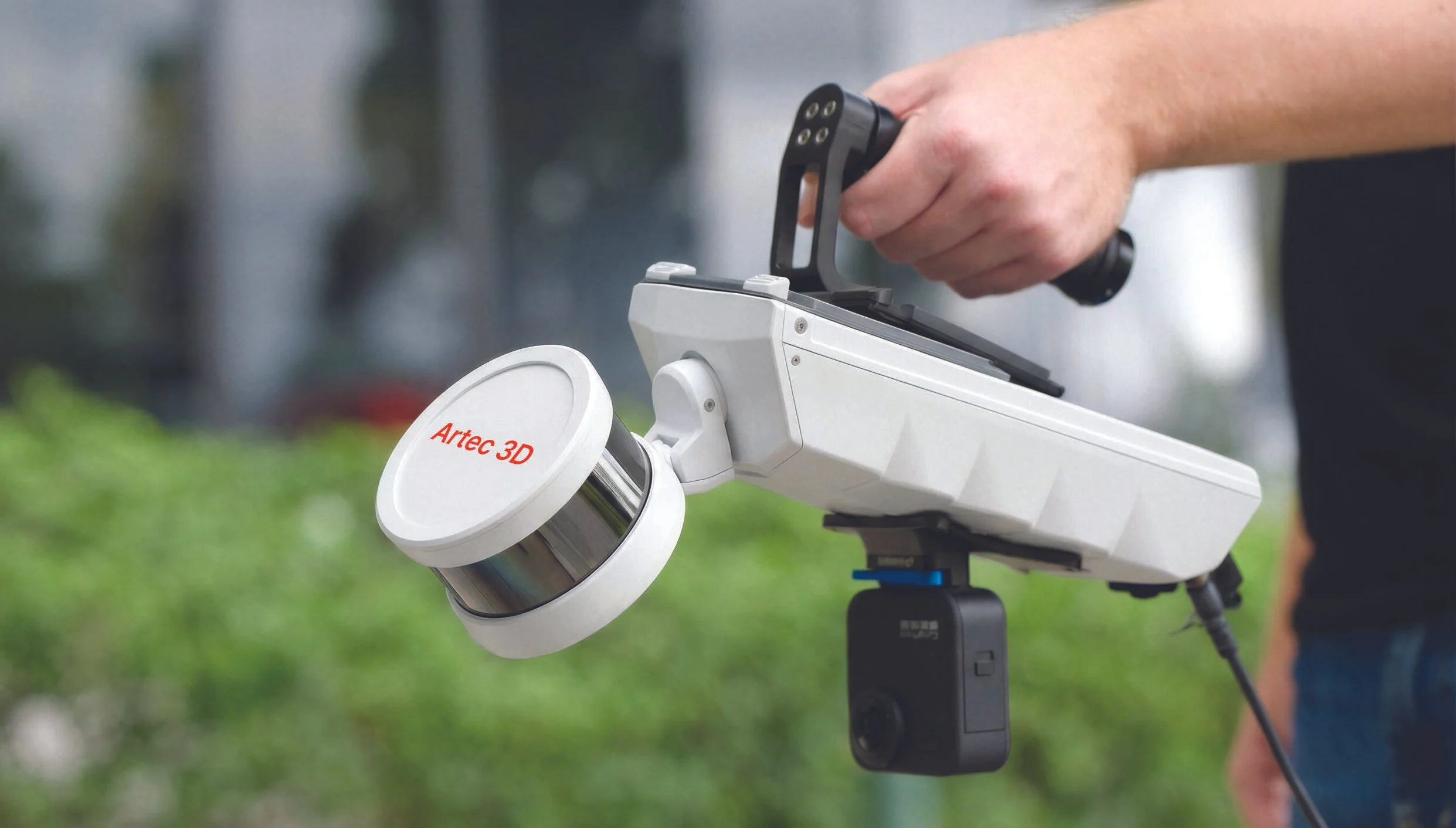
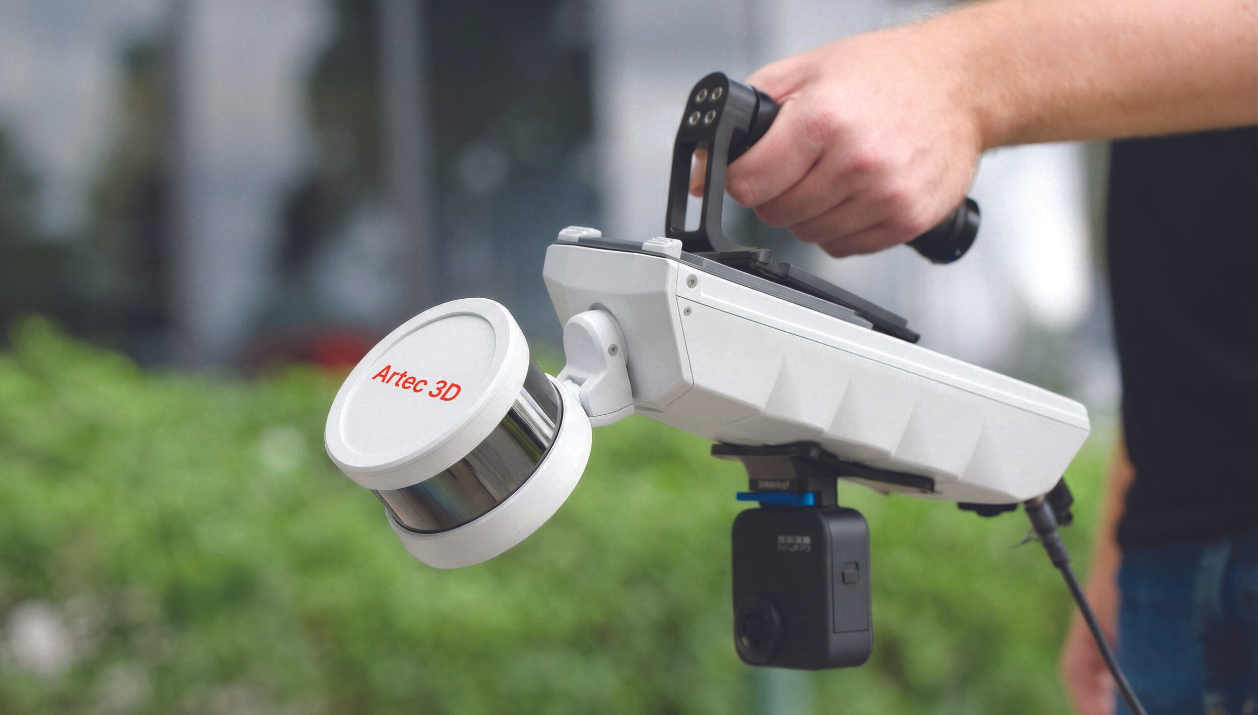
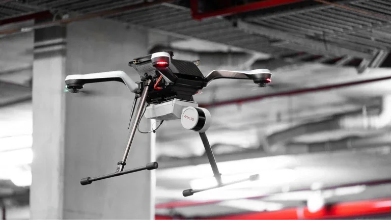
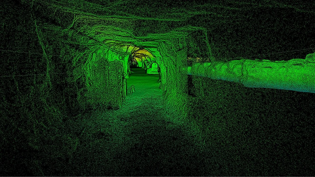
Capture by hand, or mount to a backpack, robot, vehicle, or drone. Artec Jet offers multiple different deployment modes in a single compact, lightweight device. Choose the modality that best suits your application, whether it be open-air surveying or underground mapping, and ensure that on-site teams steer clear of hazardous, hard-to-reach areas.

Features & Benefits
Confidence in every scan.

-
![]()
Real-time feedback
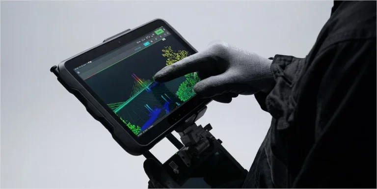
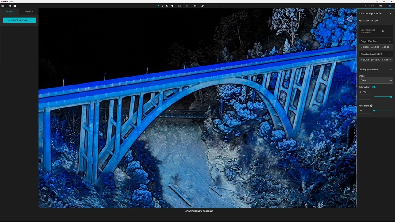
Artec Jet streams live point cloud previews to a companion app during scans, giving instant confirmation that all data is captured and no rescanning is required.
-
![]()
360° scene capture
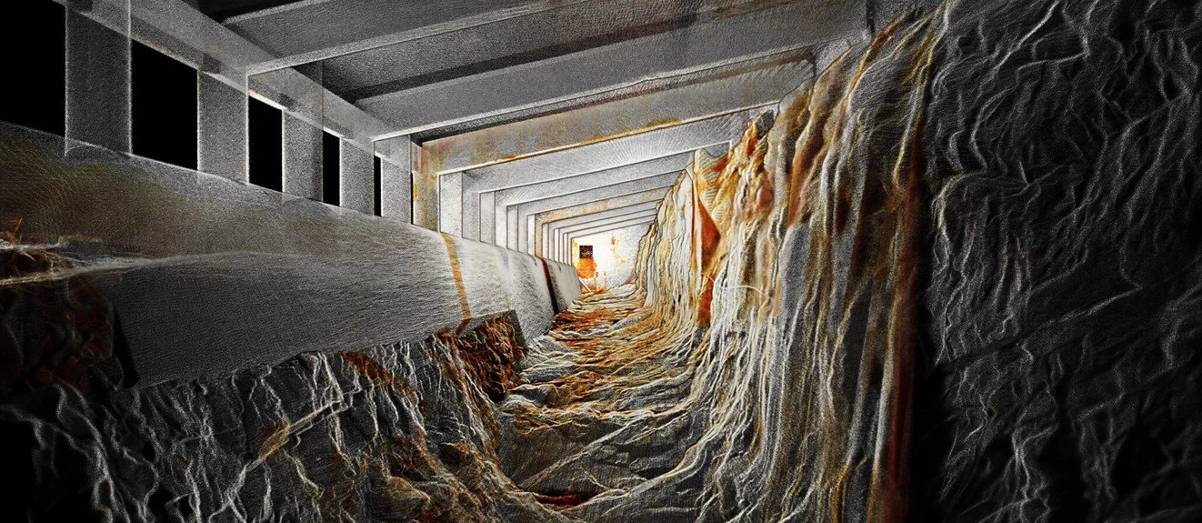
With a 360° × 290° field of view, Artec Jet captures dense, shadow-free point clouds with full coverage in a single pass.
-
![]()
Color capture
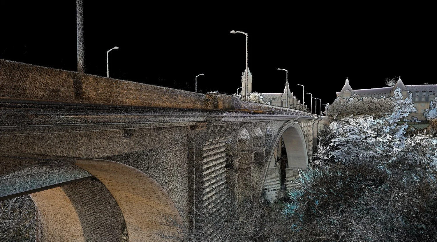
Combine LiDAR data with imagery from a supported camera to create vivid, true-to-life 3D representations with immediately recognizable features.
-
![]()
GNSS-assisted georeferencing
Take advantage of satellite positioning with RTK accessories that improve global accuracy and reduce reliance on control points.
-
![]()
Instant proficiency
Push-button scanning with a plug-and-play design. No specialist training needed — start capturing quality data right away..
-
![]()
On-site verification
Preview each scan on-site before leaving to ensure complete, usable data is captured on every visit.
Technical Specifications
| Description | Spec |
|---|---|
| Mapping method | SLAM-based LiDAR mapping, ±0.03% drift |
| LiDAR sensing range | 0.5–300 m (1.6–984 ft) |
| LiDAR accuracy | ±10 mm (3/8 in) |
| Mapping accuracy (general) | ±15 mm (19/32 in) |
| Mapping accuracy (indoor/underground) | ±10 mm (3/8 in) |
| Change detection capability | ±5 mm (7/32 in) |
| Field of view | 360° × 290° |
| Acquisition (single return) | Up to 640,000 points/second |
| Acquisition (triple return) | Up to 1,920,000 points/second |
| Max travel speed (flight, above ground) | 5 m/s (16.4 ft/s) |
| Max travel speed (vehicle) | 60 km/h (37.3 mph) |
| Max travel speed (flight, underground) | 2 m/s (6.6 ft/s) |
| Start/stop while walking or hovering | Yes |
| Laser class | Class 1 (eye safe) |
| Ingress protection | IP65 |
| Operating temperature | -10 to 45°C (14–113°F) |
| Weight | 1.57 kg (3.46 lb) |
| Power | 14–54 V, 64W (battery or auxiliary) |
| Onboard storage | 512 GB (~16 hrs) |
| Quick release mount | Yes |
| Deployment modes | Handheld, backpack, drone, vehicle, cage, telescopic pole, robot |
| Description | Spec |
|---|---|
| Point cloud formats | LAS, LAZ, PLY, E57 |
| Outputs | Full resolution point cloud, decimated point cloud, trajectory file |
| Point attributes | Intensity, range, time, return number (strongest, first & last), ring number, RGB/true color (optional) |
| Auxiliary port | Proprietary connector |
| USB | Yes |
| Wi-Fi | Internal antenna |
| Flight modes — Pilot Assist | Non-GPS flight, position hold, assisted flight, collision avoidance, regulated flight speed |
| Flight modes — Autonomous | Autonomous navigation to waypoints |
| AL2 waypoint types | 2D, 3D, planar, height |
| AL2 navigation modes | Guided exploration, local and global path planning |
| Collision avoidance FOV | 360° × 360° |
| Collision avoidance range | 1.2–40 m (3.9–131 ft) |
| Min. obstacle detection | ≥2 mm wire |
| In-flight adjustable safety distance | Yes |
| Return-to-home | Low battery / excessive dust trigger |
| Supported drones | DJI M300, DJI M350, Freefly Astro Max |
| Autopilot compatibility | DJI M300, DJI M350, Freefly Astro Max |
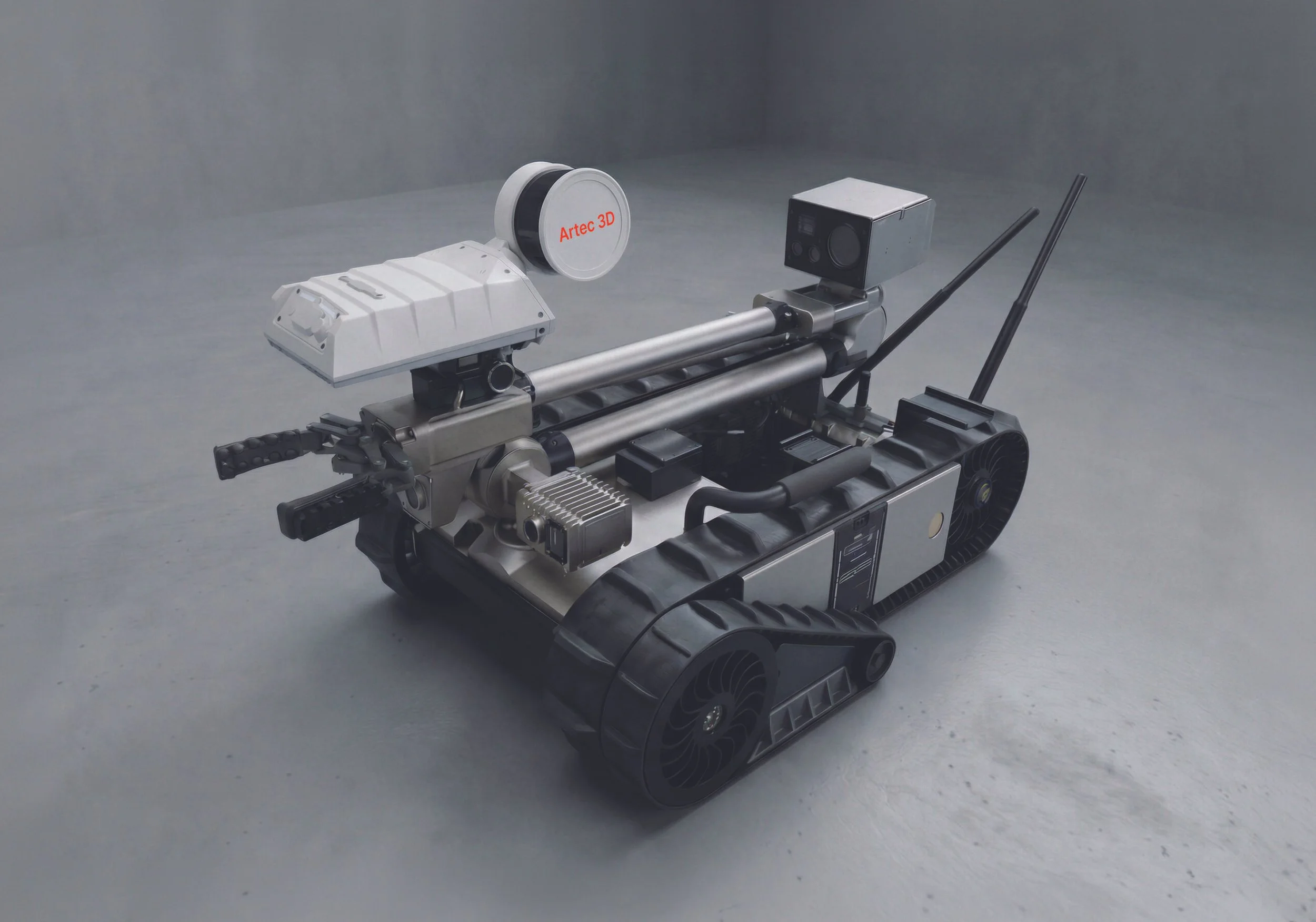
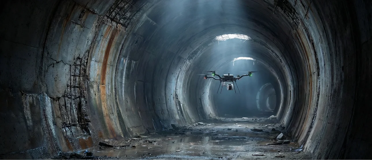
Wherever the job takes you, Artec Jet is ready
Whether you’re capturing large machinery, vertical shafts, factories, open-air sites, or road networks, Artec Jet scales effortlessly to match the scope and complexity of your project. Access environments that are difficult to reach or dangerous to enter — and scan critical assets with a single device built for the toughest conditions.